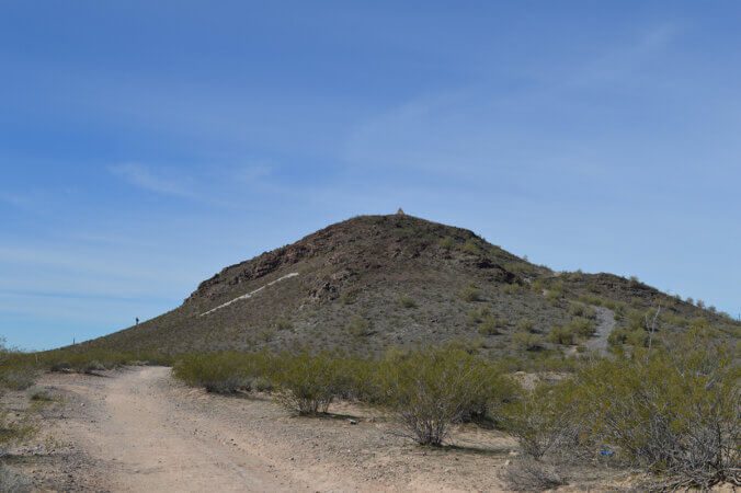
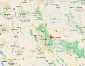
Just outside Florence, Arizona, a small town in Pinal County in southwest Arizona, sits a historic volcanic mound. Some might even call it a hill. However, if you are from the Midwest, it is much taller than just your average everyday hill. On top of that hill sits a 14-foot-tall masonry pyramid. Hikers can hike to the top to view the pyramid and the surrounding desolate desert for miles around. The half-mile hike is fairly easy, with switchbacks leading up the mound’s side to the summit giving you a beautiful 360-degree view, but why is there a pyramid on top?

Arizona’s early years saw it full of some interesting and, dare I say, colorful individuals. One of these noted individuals is known as the “Father of Arizona”. Charles Debrille Poston was born in 1825 in Kentucky. He moved to San Francisco in search of gold and later became one of the first Americans to stake a claim in southern Arizona and New Mexico. He established the Sonora Exploring and Mining Company in 1856, which became one of the most successful mines in the territory. After convincing President Lincoln to split the territory into a separate entity, Poston also became Arizona’s first congressional representative in Congress.
After his electoral defeat, Poston became involved in diplomatic missions and developed an interest in Zoroastrianism. He later attempted to build a Zoroastrian fire temple on top of Primrose Hill, which he believed was the site of an Apache temple to a sun god. Poston died in 1902 and was initially buried in a pauper’s grave, but his remains were later reinterred in a pyramid tomb built by the state government. Today, Poston Butte is managed by the city of Florence, Arizona, as a park.
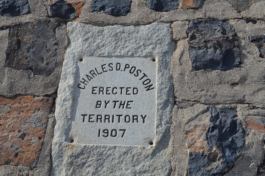
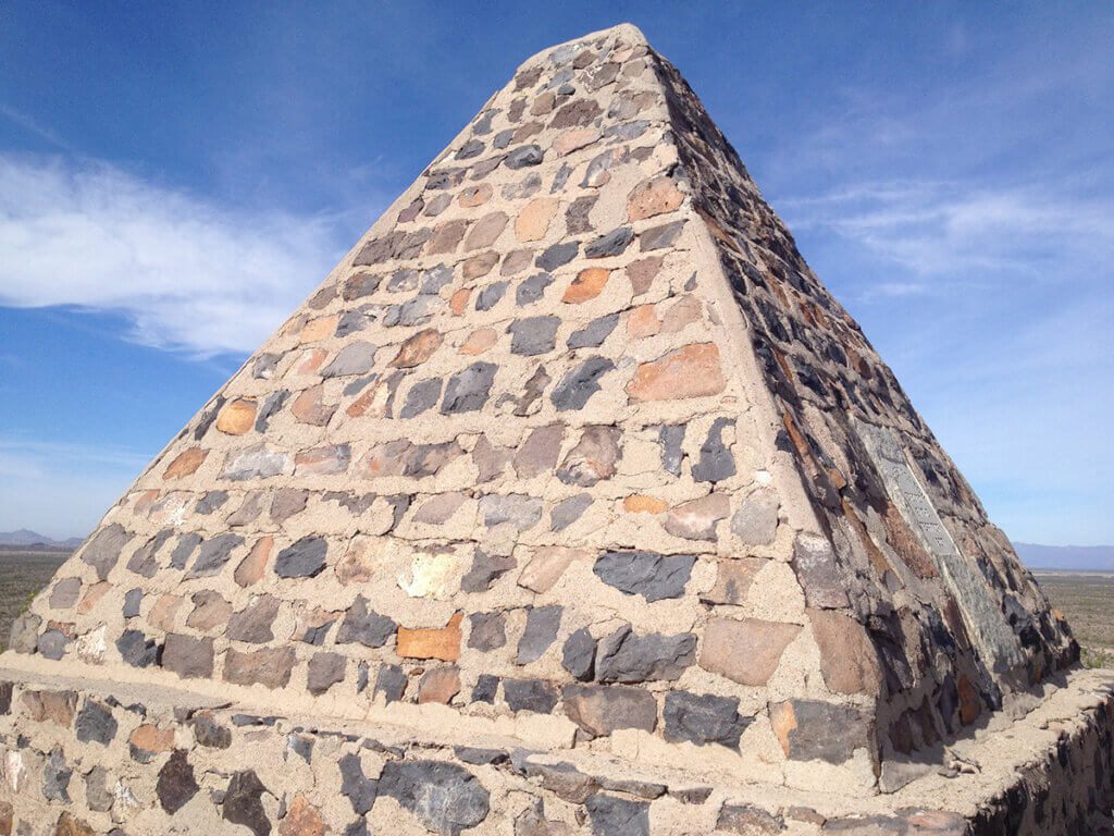
I hiked this trail many times when I lived close by. It was a great way to get some miles in and keep in shape. While the mileage was not very long, many folks would come out early in the mornings or late in the afternoon to hike it several times to get in their miles. I also enjoyed many moments staring off into the distance from the summit.
To learn more about this roadside oddity, please check out a couple of my favorite sites. Atlas Obscura and the Historical Marker Database. These two sites, among a few others, are my go-to for information about all the weird and wonderful places along the road.
Know Before You Go
The trail is open from Sunrise to Sunset daily, and there is no fee to hike or park. Parking is at the edge of Hunt Highway in Florence, Az. Take plenty of water with you, and make sure to check the weather. The hike is a half-mile from the parking area to the summit. The trail is well maintained but is natural and not paved.
- Closest cities are Tucson and Phoenix, a little over an hour from each.
- Trailhead Address: 13993 W Hunt Hwy, Florence, AZ 85132, United States
- Location: 33°03′19″N 111°24′32″W





I absolutely love how you highlight the local culture and traditions in your travel blog. It’s refreshing to see a focus on immersive experiences and connecting with the community. Your posts inspire me to travel with a purpose and create meaningful memories.