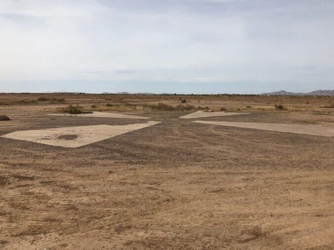
During the late 1950s, the commissioning of a spy satellite program marked a significant milestone. The program commissioned the launch of Corona spy satellites from Vandenberg Air Force Base in 1960. These satellites orbited the Earth, capturing over 850,000 images from 1960 to 1972. Their primary objective was to monitor potential military threats worldwide, with a particular focus on the USSR during the Cold War. The CIA constantly updated the surveillance targets based on gathered intelligence. The satellites followed a polar orbit and encountered numerous challenges and setbacks throughout the program. To retrieve the exposed film, they utilized parachutes to drop it back to Earth.
Continue reading
Category: Roadside Oddities
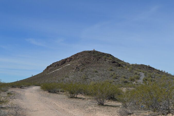
Just outside Florence, Arizona, a small town in Pinal County in southwest Arizona, sits a historic volcanic mound. Some might even call it a hill. However, if you are from the Midwest, it is much taller than just your average everyday hill. On top of that hill sits a 14-foot-tall masonry pyramid. Hikers can hike to the top to view the pyramid and the surrounding desolate desert for miles around. The half-mile hike is fairly easy, with switchbacks leading up the mound’s side to the summit giving you a beautiful 360-degree view, but why is there a pyramid on top?


